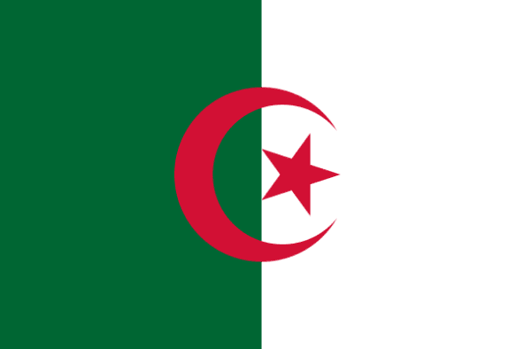
Algeria
LOCATION & GEOGRAPHY
Algeria is the largest country in Africa, the Arab world, and the Mediterranean Basin and is bordered by the Mediterranean Sea in the North; Tunisia and Libya in the East; Niger and Mali in the South, Mauritania in the South-west and Morocco in the West. It is composed of four successive main reliefs, from North to South. In the North, along the Mediterranean coast, lies the narrow discontinuous plain of the Algerian Tell containing the majority of the country’s arable land. Higher reliefs are bordering the coastal plain in the South, with two mountainous chains enclosing high desertic plateaux. In the South of the Sahara Atlas lies the great Sahara Desert representing 80% of the country’s total land area. In the South of the Sahara desert lies the Hoggar mountain composed of high desertic plateaux in terraces. The only river in Algeria is the Cheliff originating in the Atlas and flowing into the Mediterranean. The Tell region in the North is characterised by a mediterranean climate, with hot and dry summers and mild and rainy winters. The climate becomes drier towards the South. The Sahara is a windy and very arid region.

The People's Democratic Republic Of Algeria

Language
Arabic

Currency
Algerian Dinar (DZD)

GDP
169.988 Billion USD (2019)

Exports (Product)
$33.2B (2019)

Exports (Service)
$2.95B (2016)

Imports (Product)
$39.5B (2019)

Chamber Name
Algerian Chamber of Commerce and Industry

Capital
Algiers

Total Area
2,381,741 km2

Imports (Service)
$10.4B (2016)

Population in thousands
43.053

Source of Data
OEC – World Bank – Wikipedia


